AI and geostatistics for climate risk: 3 questions to Thomas Romary and Denis Allard on the 2nd anniversary of the Geolearning Chair

Digital transformation Ecological transition Research Interview
Published on 15 April 2025

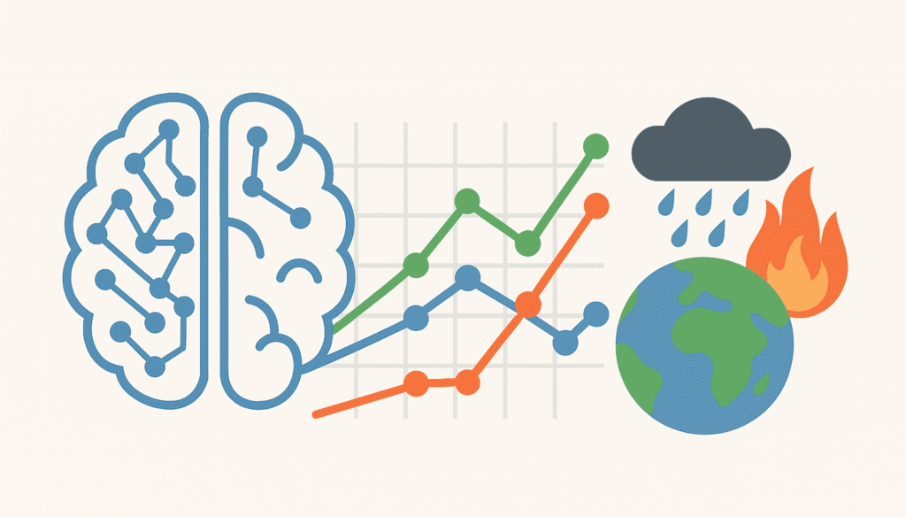
Launched in 2023, the Geolearning Chair, supported by the Centre de Géosciences de Mines Paris – PSL in partnership with the Biostatistique et Processus Spatiaux (BioSP) unit of the Institut national de recherche pour l’agriculture, l’alimentation et l’environnement (INRAE), develops advanced analysis tools to better model and analyze natural phenomena such as extreme weather events or environmental monitoring. The Chair uses an interdisciplinary approach combining geostatistics, machine learning and extreme event modeling to better quantify the frequency and magnitude of these risks. Financed by the Agence nationale pour la gestion des déchets radioactifs (ANDRA), BNP-Paribas, the Caisse centrale de réassurance (CCR) and the Fondation d’entreprise SCOR pour la Science, it provides decision-makers with methodologies that draw on the most recent theoretical advances in these three fields. Two years after its inauguration, we take stock with Thomas Romary, Professor at Mines Paris – PSL, and Denis Allard, Director of Research at INRAE, of the progress made and the outlook for 2025.

Why is the study of extreme weather events so crucial today?

  • Thomas Romary: “It has been scientifically established that climate change is leading to an increase in the frequency and magnitude of extreme events. We all have in mind recent events such as the catastrophic floods in Valencia in October 2024, Cyclone Chido which ravaged Mayotte in December 2024, or the megafires in Los Angeles last January. It is therefore crucial to develop statistical tools to characterize these events, in particular the evolution of their probability of occurrence, taking into account the scenarios established by global climate models.”

  • Denis Allard: “In the context of climate change, statistical modeling and machine learning techniques are set to play an increasingly important role in quantifying climate risks and studying adaptation scenarios, in line with the French National Climate Change Adaptation Plan (PNACC). Among the tools we are working on are generative simulation tools, which enable us to simulate plausible trajectories of future climatic events. We are developing stochastic generators to simulate series of several weather variables, as well as extreme precipitation generators, using the latest advances in statistics and deep learning. We ourselves participate in these advances, as we are on the front line of science in these fields.”

What tools and methodologies are you developing to better understand and anticipate these phenomena?

  • Thomas Romary: “These phenomena unfold in space and time, so geostatistics is the ideal tool for tackling them. However, conventional methods have their limits when confronted with a large mass of data whose spatio-temporal structure is particularly complex. That’s why we’re developing new spatio-temporal models, inspired by physics, and involving computationally efficient numerical analysis methods. In addition, we are also seeking to feed our models with developments from machine learning, to give them greater flexibility and facilitate their calibration.”

  • Denis Allard: “We’re also working on bringing geostatistics and extreme value theory closer together, which proposes methods for extrapolating the frequency and magnitude of extreme events for never-before-observed values (such as unprecedented heat waves). By bringing these two fields of statistics together, we are developing new methods for analyzing extreme climatic events within a spatial and spatio-temporal framework. As part of the Geolearning Chair, we are moving towards more precise modeling of hazards such as extreme precipitation, flooding and heat waves. In the longer term, our aim is to tackle particularly complex phenomena such as tornadoes and hailstorms, which are causing increasingly frequent and costly damage. To carry out this work, the Geolearning Chair is funding several theses and post-doctoral research projects. We rely on a network of first-rate scientific collaborations. These include members of the national RESSTE (Risques, Extrêmes et Statistique Spatio-TEmporelle) network, which we have been running since 2014, as well as French and international academics, notably from the University of Lausanne (UNIL) and Ca’ Foscari University in Venice.”

What are the expected spin-offs of the Geolearning Chair?

Of course, we expect scientific spin-offs, but our aim is also for our research to have a socio-economic impact.

  • Denis Allard: “From a scientific point of view, we are developing theoretical and methodological tools that combine geostatistics, extreme events and learning, and we have already obtained results in these fields. The theses and post-doctoral projects funded by the Chair focus on highly innovative subjects at the crossroads of these fields. We are also helping to build a French and international scientific community in these fields. For example, we are actively participating in or co-financing 4 international conferences or symposia in 2025, including a symposium on bias correction methods in climate models and the Geostatistics Days, both of which will be held at Mines Paris – PSL. We’ll also be playing a leading role at the biennial Spatial Statistics conference, where a session will be entirely dedicated to the Chair.”

  • Thomas Romary: “The methods we are developing will be ported to open-access software and computing libraries, to facilitate their transfer to industry and public authorities. They have many applications. Among other things, they will make it possible to quantify the exposure of an asset to climate risk, to assess the resilience of infrastructures to this same risk, or to guide adaptation strategies through impact studies. In the longer term, our research will have an impact on the socio-economic world. The insurance and reinsurance, energy and water management sectors are in the front line, of course, but infrastructure managers and public players in charge of territories and their resilience are also concerned.”


To find out more:

  • Bhavsar, F., Desassis, N., Ors, F., & Romary, T. (2024). A stable deep adversarial learning approach for geological facies generation. Computers & Geosciences, 105638.
  • Clarotto, L., Allard, D., Romary, T., Desassis N. (2024) The SPDE approach for spatio-temporal datasets with advection and diffusion. Spatial Statistics, 100847. arXiv: 2208.14015
  • Jansson, E., Lang, A., & Pereira, M. (2024). Non-stationary Gaussian random fields on hypersurfaces: Sampling and strong error analysis. arXiv:2406.08185.
  • Nanditha, J. S., Villarini, G., Kim, H., & Naveau, P. (2024). Strong linkage between observed daily precipitation extremes and anthropogenic emissions across the contiguous United States. Geophysical Research Letters, 51, e2024GL109553. https://doi.org/10.1029/2024GL109553
  • Obakrim, S., Benoit, L., & Allard, D. (2024). A multivariate and space-time stochastic weather generator using a latent Gaussian framework. Submitted to Stochastic Environmental Research and Risk Assessment. https://hal.science/hal-04715860/
  • Pereira M., (2023) A note on spatio-temporal random fields on meshed surfaces defined from advection-diffusion SPDEs. hal-04132148
  • Vrac, M., Allard, D., Mariéthoz, G., Thao, S. Schmutz, L. (2024) Distribution-based pooling for combination and multi-model bias correction of climate simulations. Earth System Dynamics, 15(3), 735-762

Also to be discovered